
Understanding Risk
How does Urban KiwiRAP and understanding risk help save lives?
Roads and roadsides are an area of high concern in New Zealand’s road safety strategy Safer Journeys. Urban KiwiRAP Risk Maps and Star Ratings help road safety partners to better understand where the highest risk sections of the Local Authority roading network are so that safety efforts and safety investment can be better targeted to risk. KiwiRAP does the same for the State Highway network.
Both Urban KiwiRAP and KiwiRAP programmes provide a systematic and internationally recognised way of measuring what makes a safe road. Risk ratings will provide road planners, road owners, engineers and funders with vital benchmarking information to show how well, or how poorly, a particular road performs in comparison to other roads.
Giving roads a safety rating will help drivers and riders better understand how risk can vary according to changes in the local road network. A risk-aware driver or rider will be able to adapt their driving or riding based on the condition of the road to help reduce their risk of being involved in a serious crash.
Does it really work?
Risk maps for the high-speed (≥ 80km/h) “rural” sections of New Zealand’s State Highway network were first published in January 2008 based on traffic and crash data for the five-year period between 2002 and 2006. Star Ratings were then calculated for the same roads and published in June 2010. In 2012, the final RAP protocol a Performance Tracking report was published. The Performance Tracking report used crash data for the five-year period between 2007 and 2011 and compared it to the original 2002 to 2006 period.
The Performance Tracking report showed significant gains in safety performance across the State Highway network between the two periods. The number of kilometres of State Highway network in the high Collective Risk band more than halved from 806 km in the 2002-2006 period to 393 km in 2007-2011 period – a drop from 7% of the national network down to 4%. Similarly, the percentage of State Highway in the Low and Low-Medium Collective Risk bands increased from 56% to 65% in the latest time period. The New Zealand Transport Agency then carried out a retrospective analysis to ascertain whether the improvements in safety performance on the rural State Highway network were also achieved on rural roads managed by local Council Road Controlling Authorities (RCAs). For comparative purposes, the analysis extended to include low-speed (≤70 km/h) “urban” networks.
The results of the analysis indicated a disparate performance between the State Highway network and Local Roads between the two analysis periods. While State Highways experienced fatal and serious crash reductions of 15% and 13% in rural and urban speed environments respectively, local road networks only improved by 1% and 3% respectively.
What can we do to improve high risk roads?
Road crashes are almost always multi-factor events involving a driver, vehicle and/or the environment, including the road. There are many elements of the road that contribute to safety outcomes. These include road width, alignment, the presence and type of intersections, and roadside hazards such as trees, poles and ditches.
It is recognised that whatever we do to make drivers more alert, law abiding and competent, some will still make mistakes. While drivers need to share responsibility for a safe road system, they should not have to suffer unnecessarily harsh outcomes, such as death or serious injury, for making a mistake.
By modifying roads to make them safer, we can reduce the number of crashes that happen and the severity of those that do occur. By identifying the highest risk roads and fixing them first, we can reduce the consequences of crashes on our roads over time.
Safe driving on high risk roads
Roads that have been highlighted as being less safe are likely to have unique reasons for why the star rating is low. Considering why particular stretches of roads are less safe, will assist drivers to decide how best to respond to the conditions of the road and environment.
Variables to keep in mind when driving, especially on roads with higher risks and lower safety ratings:
The Road
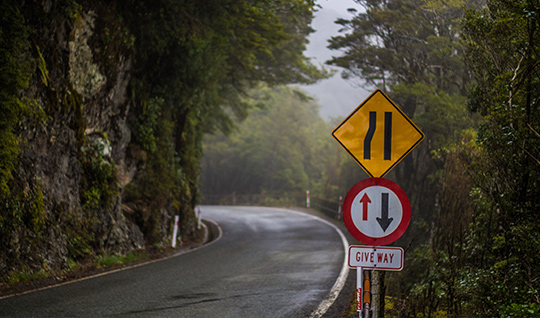
- Roadside features, such as trees and ditches, can be unforgiving in a crash making the section of the road less safe.
- Undivided roads have an increased risk of a head-on crash, particularly if the roads have high traffic volumes.
- Intersections increase risk, as traffic travelling at different speeds cross or merge.
- Removing roadside hazards, installing guardrails and median barriers can make the road more forgiving and safer in a crash.
Speed
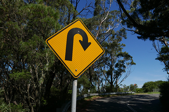
- Reduce speed on more difficult terrain such as winding roads, sharp corners, steep gradients and gravel surfaces.
Weather
- Drivers need to alter speed in poor weather conditions. Rain and ice reduce tyre grip, making it easy to lose control. Wind gusts can buffet a vehicle unexpectedly while sun glare or fog can blind a driver.
- If poor weather conditions make driving challenging, drivers should consider re-scheduling the journey and only travel if necessary.
Traffic
- Peak hour, holidays or special events can impact on traffic flow. Adjust driving for reduced flows, avoiding risky overtaking and keeping a safe following distance.
- Travelling at the speed limit may not be a safe option so be prepared to travel at a reduced speed if necessary.
The Vehicle
- Drivers and owners should ensure that vehicle is in sound condition and ready for safe travel. This includes:
- Ensure Warrant of Fitness is current. Do not rely solely on a WoF to assess the vehicle’s current road worthiness.
- Regularly check all tyres (including the spare) for correct pressure and required tread.
- Check lights often for blown light bulbs.
- Replace windscreen wipers if worn, to make sure they effectively clean the windscreen.
- Keep windows and mirrors clean – dirty windscreens make it difficult for the driver to see clearly when hit with sun glare or oncoming headlights.
- Buy vehicles with good ANCAP safety ratings and features such as electronic stability control.
The Driver
- Fatigue and sleepiness are a potential hazard. Drivers should schedule a break every two hours, or stop if feeling sleepy. Find a safe place to pull off the road and get out of the vehicle for a break. Take a short walk or other exercise to help increase alertness.
- If feeling sleepy, a short sleep for up to 40 minutes can be refreshing. Any longer can cause a driver to feel groggy and disorientated for 10-15 minutes after waking. Be sure to lock doors and windows before taking a sleep, or even phone someone to let them know where you are.
- Remember a short nap will not replace a good night’s sleep. A rested and alert driver can adjust better to the conditions or any errors by other drivers. If in doubt, don’t drive.
- Assess fitness to drive for short or long trips. If not up to driving, the trip should be postponed or someone else should take over driving.
- Minimise distracting activities such as eating, or tuning the radio – driving requires a high level of concentration and focus.
- Drivers must be constantly aware of the environment - road, weather and other drivers. Always be aware of possible escape routes to avoid a head-on collision with an oncoming vehicle.